Integrating an Inertial Measurement Unit (IMU) with GNSS data
While GPR technology remains the most effective method for subsurface investigation, its data collection processes have stagnated over the past forty years. These traditional methods require data to be collected in straight lines over flat terrain, followed by extensive post-processing and specialised interpretation to reveal buried features.
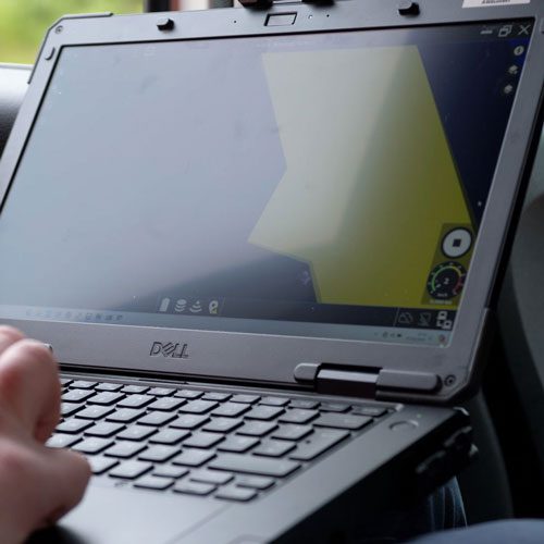
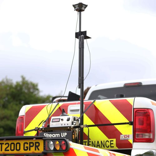
Truewave GPR distinguishes itself by integrating an Inertial Measurement Unit (IMU) with GNSS data, enabling it to accurately define the translational and angular position of the radar antenna in space. This integration allows for the reconstruction and processing of precise subsurface images, even over uneven terrain. Consequently, significant time savings are achieved as the need for geomatic surveys and manual terrain variation compensation is eliminated.
During data collection, the Truewave GPR software automatically determines the geometry of the surveyed ground surface and applies enhanced GPR processing algorithms. This improves the fidelity of the subsurface data, resulting in more accurate and efficient surveys.
Our service description
The service we are offering to our customers is a Ground Penetrating Radar (GPR) survey with automated terrain compensation to reduce the time required to conduct surveys and process data used to locate subsurface assets. The assets we are targeting include gas pipes, water pipes and electric lines. These are utilities that may need to be excavated and diverted due to utility, infrastructure and construction works. Effective GPR technology is currently available for surveys conducted over flat ground in easily accessible areas such as parking lots, pavements, roads, and level fields. However, much of the terrain over sites where utilities and infrastructure exist is undulating to some extent and can be difficult to access due to features such as trees and buildings. Over undulating terrain, variations in the angular position of the GPR antenna occur resulting in inaccurate GPR data. To obtain TruewaveGPR Full Proposal July 2022 Page 6/114
accurate results the GPR data should be merged with topographic data in post-processing, however, this is costly and time consuming and reduces the favourability of GPR surveys for undulating terrain,
